
Chamarajanagara topographic map
Interactive map
Click on the map to display elevation.
Chamarajanagara
Chamarajnagar is located at 11°55′N 76°57′E / 11.92°N 76.95°E / 11.92; 76.95. It has an average elevation of 662 metres (2,172 ft).
About this map
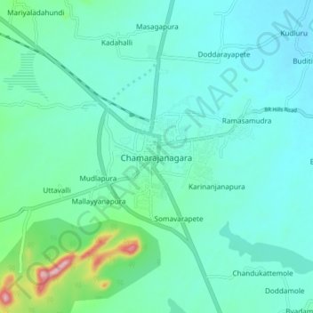
Name: Chamarajanagara topographic map, elevation, terrain.
Average elevation: 717 m
Minimum elevation: 675 m
Maximum elevation: 925 m