
Sindhi topographic map
Interactive map
Click on the map to display elevation.
About this map
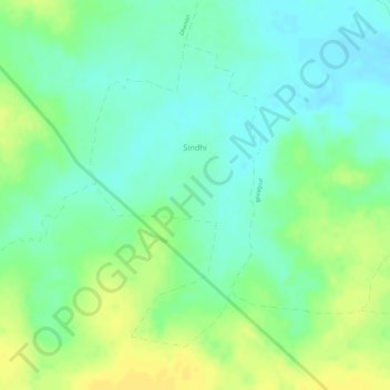
Name: Sindhi topographic map, elevation, terrain.
Location: Sindhi, Pauni Taluka, Bhandara District, Maharashtra, India (20.72830 79.67960 20.74925 79.69230)
Average elevation: 237 m
Minimum elevation: 225 m
Maximum elevation: 249 m