
Unjha topographic map
Interactive map
Click on the map to display elevation.
About this map
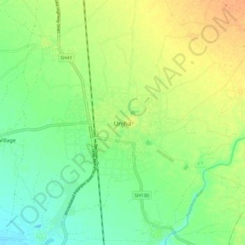
Name: Unjha topographic map, elevation, terrain.
Location: Unjha, Unjha Taluka, Mahesana District, Gujarat, 384170, India (23.76427 72.35128 23.84427 72.43128)
Average elevation: 118 m
Minimum elevation: 102 m
Maximum elevation: 135 m