
Kotpad topographic map
Interactive map
Click on the map to display elevation.
About this map
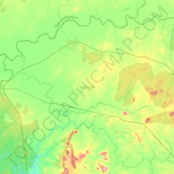
Name: Kotpad topographic map, elevation, terrain.
Location: Kotpad, Koraput, Odisha, 764058, India (18.95618 82.20357 19.18544 82.49548)
Average elevation: 565 m
Minimum elevation: 490 m
Maximum elevation: 728 m