
Koraput topographic map
Interactive map
Click on the map to display elevation.
About this map
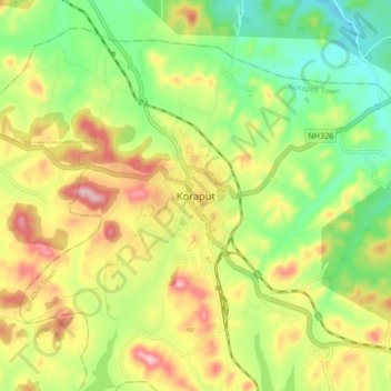
Name: Koraput topographic map, elevation, terrain.
Location: Koraput, Koraput Town, Koraput District, Odisha, 764020, India (18.77095 82.67413 18.85095 82.75413)
Average elevation: 861 m
Minimum elevation: 750 m
Maximum elevation: 1,004 m
Koraput is located at 18°49′N 82°43′E / 18.82°N 82.72°E / 18.82; 82.72. It has an average elevation of 870 m (2,850 ft).