
Cooch Behar topographic map
Interactive map
Click on the map to display elevation.
Cooch Behar
The elevation of the town is 48 meters above mean sea level.
About this map
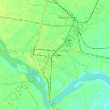
Name: Cooch Behar topographic map, elevation, terrain.
Location: Cooch Behar, Koch Bihār, Kochbihar, West Bengal, 736101, India (26.28237 89.41924 26.36237 89.49924)
Average elevation: 43 m
Minimum elevation: 35 m
Maximum elevation: 49 m