
Lago Úrmia topographic map
Interactive map
Click on the map to display elevation.
About this map
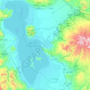
Name: Lago Úrmia topographic map, elevation, terrain.
Location: Lago Úrmia, زینتلو, Irã (37.07171 45.05407 38.24836 45.95126)
Average elevation: 1,501 m
Minimum elevation: 1,264 m
Maximum elevation: 3,496 m