
Neyyar Dam topographic map
Interactive map
Click on the map to display elevation.
About this map
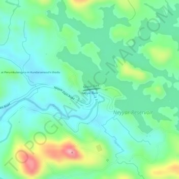
Name: Neyyar Dam topographic map, elevation, terrain.
Location: Neyyar Dam, Thiruvananthapuram, Kerala, 695001, India (8.53486 77.14424 8.53526 77.14715)
Average elevation: 91 m
Minimum elevation: 45 m
Maximum elevation: 195 m
Other topographic maps
Click on a map to view its topography, its elevation and its terrain.