
Sanwer topographic map
Interactive map
Click on the map to display elevation.
About this map
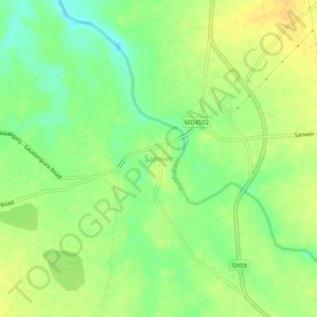
Name: Sanwer topographic map, elevation, terrain.
Location: Sanwer, Sawer Tahsil, Indore, Madhya Pradesh, 453551, India (22.95464 75.80690 22.99464 75.84690)
Average elevation: 508 m
Minimum elevation: 493 m
Maximum elevation: 520 m