
Alphen aan den Rijn topographic map
Interactive map
Click on the map to display elevation.
About this map
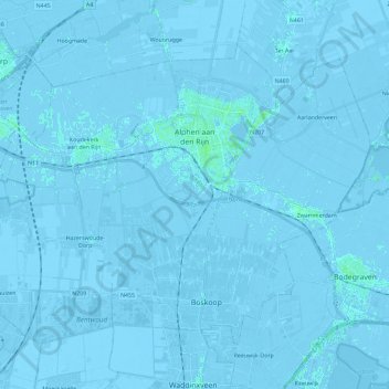
Name: Alphen aan den Rijn topographic map, elevation, terrain.
Location: Alphen aan den Rijn, South Holland, Netherlands (52.05857 4.53010 52.16750 4.76008)
Average elevation: -2 m
Minimum elevation: -8 m
Maximum elevation: 8 m