
City of Pewaukee topographic map
Interactive map
Click on the map to display elevation.
About this map
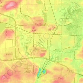
Name: City of Pewaukee topographic map, elevation, terrain.
Location: City of Pewaukee, Waukesha County, Wisconsin, USA (43.02671 -88.30443 43.10525 -88.18515)
Average elevation: 266 m
Minimum elevation: 193 m
Maximum elevation: 320 m