
Kathajodi topographic map
Interactive map
Click on the map to display elevation.
About this map
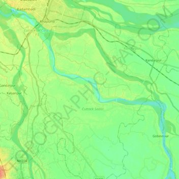
Name: Kathajodi topographic map, elevation, terrain.
Location: Kathajodi, Cuttack, Odisha, 753001, India (20.29575 85.84072 20.45748 86.03418)
Average elevation: 19 m
Minimum elevation: 5 m
Maximum elevation: 44 m
Other topographic maps
Click on a map to view its topography, its elevation and its terrain.
Jobra Park
Jobra Park, Badambadi, Cuttack, Cuttack (M.Corp.) P.S, Cuttack, Odisha, 753001, India
Average elevation: 24 m