
Las Campas topographic map
Interactive map
Click on the map to display elevation.
About this map
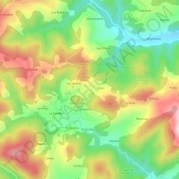
Name: Las Campas topographic map, elevation, terrain.
Location: Las Campas, Asturias, 33866, España (43.42809 -6.23676 43.46809 -6.19676)
Average elevation: 290 m
Minimum elevation: 95 m
Maximum elevation: 528 m
Other topographic maps
Click on a map to view its topography, its elevation and its terrain.