
Badlapur topographic map
Interactive map
Click on the map to display elevation.
About this map
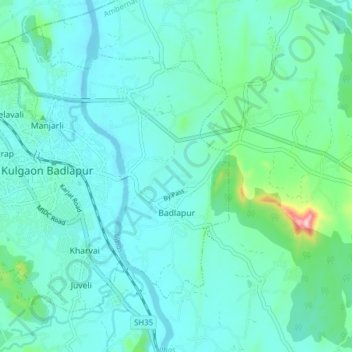
Name: Badlapur topographic map, elevation, terrain.
Location: Badlapur, Ambarnath, Thane, Maharashtra, 421503, India (19.12707 73.20877 19.20036 73.28018)
Average elevation: 42 m
Minimum elevation: 7 m
Maximum elevation: 234 m