
Makkuva topographic map
Interactive map
Click on the map to display elevation.
About this map
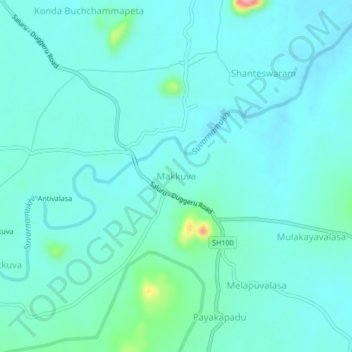
Name: Makkuva topographic map, elevation, terrain.
Location: Makkuva, Vizianagaram, Andhra Pradesh, India (18.64218 83.24763 18.68218 83.28763)
Average elevation: 140 m
Minimum elevation: 122 m
Maximum elevation: 244 m