
Mallavaram topographic map
Interactive map
Click on the map to display elevation.
About this map
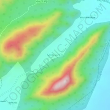
Name: Mallavaram topographic map, elevation, terrain.
Average elevation: 267 m
Minimum elevation: 110 m
Maximum elevation: 654 m
Other topographic maps
Click on a map to view its topography, its elevation and its terrain.
Tallapalem
India > Andhra Pradesh > Koyyuru
Tallapalem, Koyyuru, Andhra Pradesh, India
Average elevation: 366 m