
Dusehra Ground, Jalandhar Cantt topographic map
Interactive map
Click on the map to display elevation.
About this map
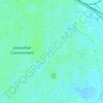
Name: Dusehra Ground, Jalandhar Cantt topographic map, elevation, terrain.
Average elevation: 239 m
Minimum elevation: 236 m
Maximum elevation: 243 m