Geolocate

Kallada River topographic map

Interactive map

Click on the map to display elevation.

About this map

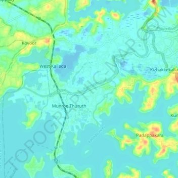
Name: Kallada River topographic map, elevation, terrain.

Location: Kallada River, Kollam, Kerala, 691001, India (8.97428 76.58520 9.02918 76.66105)

Average elevation: 8 m

Minimum elevation: -2 m

Maximum elevation: 38 m

Other topographic maps

Click on a map to view its topography, its elevation and its terrain.

Thenmala Dam

India > Kerala > Kollam

Thenmala Dam, Kollam, Kerala, 691001, India

Average elevation: 155 m

Chadayamangalam

India > Kerala > Kollam

Chadayamangalam, Kollam, Kerala, 691001, India

Average elevation: 69 m