
Manchi topographic map
Interactive map
Click on the map to display elevation.
About this map
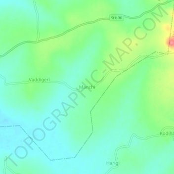
Name: Manchi topographic map, elevation, terrain.
Location: Manchi, Soraba taluk, Shimoga district, Karnataka, India (14.41999 75.15583 14.45999 75.19583)
Average elevation: 590 m
Minimum elevation: 566 m
Maximum elevation: 650 m