
Sathanur topographic map
Interactive map
Click on the map to display elevation.
About this map
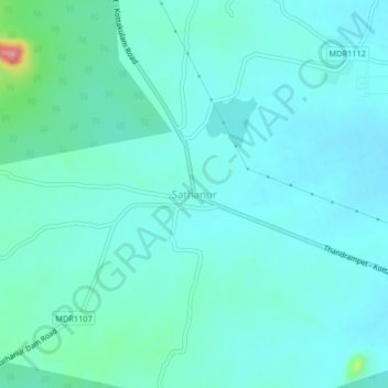
Name: Sathanur topographic map, elevation, terrain.
Average elevation: 216 m
Minimum elevation: 198 m
Maximum elevation: 318 m
Other topographic maps
Click on a map to view its topography, its elevation and its terrain.
Thanipadi
India > Tamil Nadu > Thandrampet
Thanipadi, Thandrampet, Tiruvanamalai District, Tamil Nadu, 606708, India
Average elevation: 208 m