
Modak Sagar topographic map
Interactive map
Click on the map to display elevation.
About this map
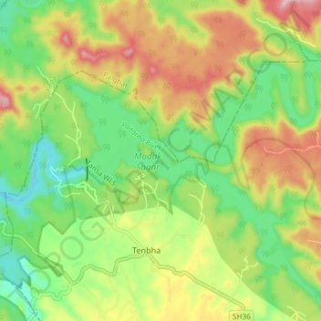
Name: Modak Sagar topographic map, elevation, terrain.
Location: Modak Sagar, SH36, Raut Pada, Thane, Maharashtra, India (19.64709 73.28590 19.69851 73.35980)
Average elevation: 186 m
Minimum elevation: 63 m
Maximum elevation: 355 m