
Mandideep topographic map
Interactive map
Click on the map to display elevation.
About this map
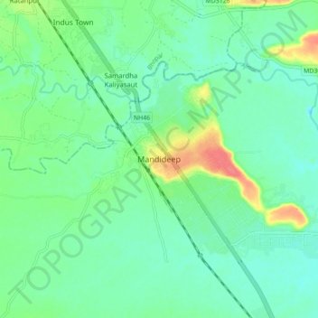
Name: Mandideep topographic map, elevation, terrain.
Location: Mandideep, Goharganj Tahsil, Raisen, Madhya Pradesh, India (23.05656 77.47445 23.13656 77.55445)
Average elevation: 450 m
Minimum elevation: 434 m
Maximum elevation: 489 m