
Janampeta topographic map
Interactive map
Click on the map to display elevation.
About this map
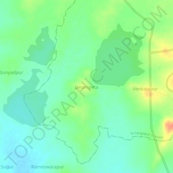
Name: Janampeta topographic map, elevation, terrain.
Location: Janampeta, Wanaparthy, Telangana, 509104, India (16.14056 77.98611 16.18056 78.02611)
Average elevation: 293 m
Minimum elevation: 278 m
Maximum elevation: 321 m
Other topographic maps
Click on a map to view its topography, its elevation and its terrain.