
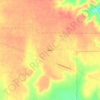
Bader topographic map
Interactive map
Click on the map to display elevation.
About this map
Name: Bader topographic map, elevation, terrain.
Location: Bader, Medina County, Texas, USA (29.35162 -98.97475 29.39162 -98.93475)
Average elevation: 305 m
Minimum elevation: 266 m
Maximum elevation: 318 m