
Ice Lake topographic map
Interactive map
Click on the map to display elevation.
About this map
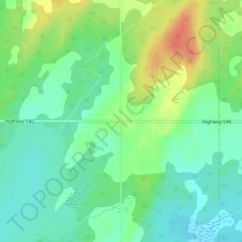
Name: Ice Lake topographic map, elevation, terrain.
Average elevation: 234 m
Minimum elevation: 216 m
Maximum elevation: 264 m
Other topographic maps
Click on a map to view its topography, its elevation and its terrain.
Tobacco Lake
Canada > Ontario > Gordon/Barrie Island
Tobacco Lake, Gordon/Barrie Island, Manitoulin District, Ontario, Canada
Average elevation: 238 m
Barrie Island
Canada > Ontario > Gordon/Barrie Island
Barrie Island, Gordon/Barrie Island, Manitoulin District, Northeastern Ontario, Ontario, Canada
Average elevation: 189 m