
Isla Cocinas topographic map
Interactive map
Click on the map to display elevation.
About this map
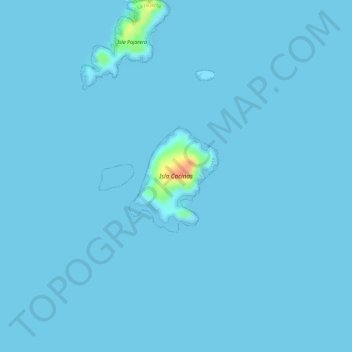
Name: Isla Cocinas topographic map, elevation, terrain.
Location: Isla Cocinas, La Huerta, México (19.54463 -105.11297 19.55194 -105.10620)
Average elevation: 1 m
Minimum elevation: 0 m
Maximum elevation: 49 m
Other topographic maps
Click on a map to view its topography, its elevation and its terrain.