
Malud topographic map
Interactive map
Click on the map to display elevation.
About this map
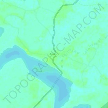
Name: Malud topographic map, elevation, terrain.
Location: Malud, Puri, Odisha, India (19.53793 85.22130 19.57793 85.26130)
Average elevation: 5 m
Minimum elevation: 1 m
Maximum elevation: 11 m