
San Martin topographic map
Interactive map
Click on the map to display elevation.
About this map
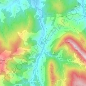
Name: San Martin topographic map, elevation, terrain.
Location: San Martin, Goyerri, Guipúzcoa, País Vasco, 20211, España (42.98659 -2.19623 43.02659 -2.15623)
Average elevation: 395 m
Minimum elevation: 171 m
Maximum elevation: 773 m