
Sankt Anton am Arlberg topographic map
Interactive map
Click on the map to display elevation.
About this map
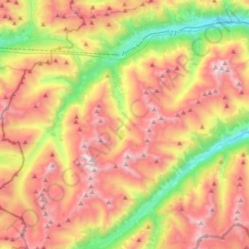
Name: Sankt Anton am Arlberg topographic map, elevation, terrain.
Location: Sankt Anton am Arlberg, Landeck, Tyrol, 6580, Austria (46.98215 10.12325 47.16633 10.32455)
Average elevation: 2,134 m
Minimum elevation: 1,151 m
Maximum elevation: 3,131 m