
Agatti topographic map
Interactive map
Click on the map to display elevation.
About this map
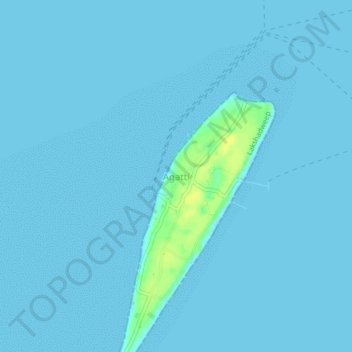
Name: Agatti topographic map, elevation, terrain.
Location: Agatti, Lakshadweep, India (10.84911 72.17525 10.88911 72.21525)
Average elevation: 1 m
Minimum elevation: 0 m
Maximum elevation: 17 m