
Barguna District topographic map
Interactive map
Click on the map to display elevation.
About this map
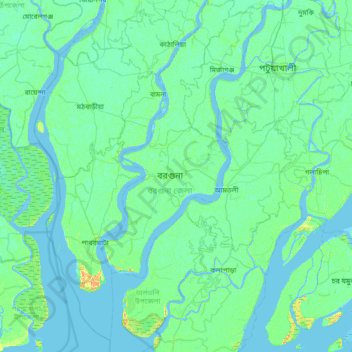
Name: Barguna District topographic map, elevation, terrain.
Location: Barguna District, Barishal Division, Bangladesh (21.78187 89.87110 22.48139 90.36959)
Average elevation: 3 m
Minimum elevation: -3 m
Maximum elevation: 27 m
Other topographic maps
Click on a map to view its topography, its elevation and its terrain.
Bālir Char
Bangladesh > Barishal Division > Bauphal Subdistrict
Bālir Char, Bauphal Subdistrict, Patuakhali District, Barishal Division, Bangladesh
Average elevation: -1 m
Barisal District
Bangladesh > Barishal Division
Barisal District, Barishal Division, Bangladesh
Average elevation: 4 m