
Mainpur topographic map
Interactive map
Click on the map to display elevation.
About this map
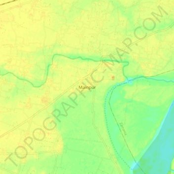
Name: Mainpur topographic map, elevation, terrain.
Location: Mainpur, Ghazipur, Uttar Pradesh, India (25.47722 83.43930 25.55722 83.51930)
Average elevation: 68 m
Minimum elevation: 51 m
Maximum elevation: 78 m