
Gumra topographic map
Interactive map
Click on the map to display elevation.
About this map
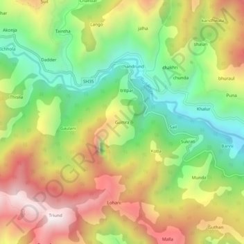
Name: Gumra topographic map, elevation, terrain.
Location: Gumra, Saluni, Chamba, Himachal Pradesh, 176320, India (32.72406 75.98400 32.76406 76.02400)
Average elevation: 1,825 m
Minimum elevation: 1,353 m
Maximum elevation: 2,378 m