
Ambhora topographic map
Interactive map
Click on the map to display elevation.
About this map
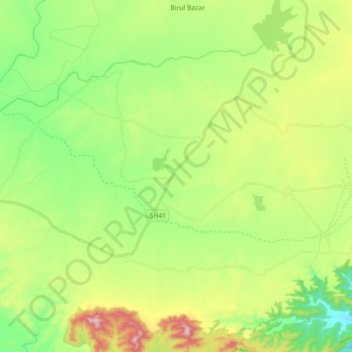
Name: Ambhora topographic map, elevation, terrain.
Location: Ambhora, Multai Tahsil, Betul, Madhya Pradesh, 460665, India (21.60842 78.06146 21.67092 78.24081)
Average elevation: 684 m
Minimum elevation: 536 m
Maximum elevation: 948 m
Other topographic maps
Click on a map to view its topography, its elevation and its terrain.
Multai
India > Madhya Pradesh > Multai Tahsil > Multai
Multai, Multai Tahsil, Betul District, Madhya Pradesh, 460661, India
Average elevation: 751 m