
Beas River topographic map
Interactive map
Click on the map to display elevation.
About this map
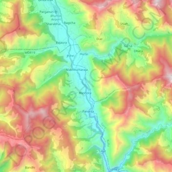
Name: Beas River topographic map, elevation, terrain.
Location: Beas River, Aut, Mandi, Himachal Pradesh, 175121, India (31.72247 77.14861 31.88701 77.21519)
Average elevation: 1,841 m
Minimum elevation: 972 m
Maximum elevation: 3,139 m