
Chinhat topographic map
Interactive map
Click on the map to display elevation.
About this map
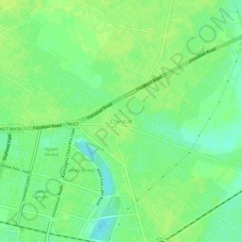
Name: Chinhat topographic map, elevation, terrain.
Location: Chinhat, Sadar, Lucknow, Uttar Pradesh, 227105, India (26.85514 81.01556 26.89514 81.05556)
Average elevation: 117 m
Minimum elevation: 108 m
Maximum elevation: 122 m