
Crewe topographic map
Interactive map
Click on the map to display elevation.
About this map
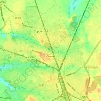
Name: Crewe topographic map, elevation, terrain.
Average elevation: 51 m
Minimum elevation: 32 m
Maximum elevation: 63 m
Other topographic maps
Click on a map to view its topography, its elevation and its terrain.
Wilmslow
United Kingdom > England > Cheshire East > Wilmslow
Wilmslow, Cheshire East, England, United Kingdom
Average elevation: 81 m