
Sanganoor Stream topographic map
Interactive map
Click on the map to display elevation.
About this map
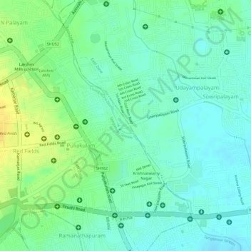
Name: Sanganoor Stream topographic map, elevation, terrain.
Average elevation: 404 m
Minimum elevation: 392 m
Maximum elevation: 421 m
Other topographic maps
Click on a map to view its topography, its elevation and its terrain.
Krishnampathi Lake
India > Tamil Nadu > Coimbatore North > Coimbatore
Krishnampathi Lake, Ward 20, West Zone, Coimbatore, Coimbatore North, Coimbatore District, Tamil Nadu, 641001, India
Average elevation: 425 m