
Mannapur topographic map
Interactive map
Click on the map to display elevation.
About this map
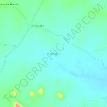
Name: Mannapur topographic map, elevation, terrain.
Location: Mannapur, Maddur mandal, Narayanpet, Telangana, 509336, India (16.80642 77.68169 16.84642 77.72169)
Average elevation: 458 m
Minimum elevation: 436 m
Maximum elevation: 557 m