
Marikal mandal topographic map
Interactive map
Click on the map to display elevation.
About this map
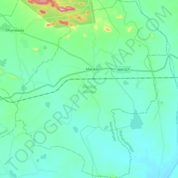
Name: Marikal mandal topographic map, elevation, terrain.
Location: Marikal mandal, Narayanpet, Telangana, 509351, India (16.50603 77.65635 16.66524 77.79841)
Average elevation: 386 m
Minimum elevation: 343 m
Maximum elevation: 609 m
Other topographic maps
Click on a map to view its topography, its elevation and its terrain.
Marikal
India > Telangana > Marikal mandal
Marikal, Marikal mandal, Narayanpet District, Telangana, 509351, India
Average elevation: 390 m