
Bachpally topographic map
Interactive map
Click on the map to display elevation.
About this map
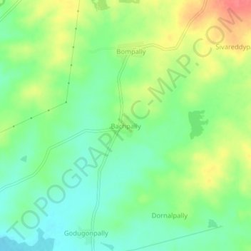
Name: Bachpally topographic map, elevation, terrain.
Location: Bachpally, Doma mandal, Vikarabad, Telangana, 501502, India (17.08332 77.85012 17.12332 77.89012)
Average elevation: 592 m
Minimum elevation: 567 m
Maximum elevation: 628 m