
Kandegedara topographic map
Interactive map
Click on the map to display elevation.
About this map
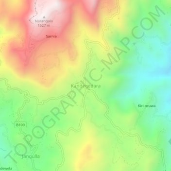
Name: Kandegedara topographic map, elevation, terrain.
Location: Kandegedara, Badulla District, Uva Province, 50, Sri Lanka (6.99942 81.00028 7.03942 81.04028)
Average elevation: 998 m
Minimum elevation: 566 m
Maximum elevation: 1,552 m