
Semra topographic map
Interactive map
Click on the map to display elevation.
About this map
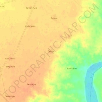
Name: Semra topographic map, elevation, terrain.
Location: Semra, Mehgaon Tahsil, Bhind, Madhya Pradesh, India (26.29146 78.78341 26.33146 78.82341)
Average elevation: 148 m
Minimum elevation: 120 m
Maximum elevation: 158 m