
Siddapur topographic map
Interactive map
Click on the map to display elevation.
About this map
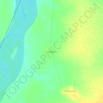
Name: Siddapur topographic map, elevation, terrain.
Location: Siddapur, Bodhan mandal, Nizamabad, Telangana, India (18.73530 77.82010 18.77530 77.86010)
Average elevation: 346 m
Minimum elevation: 334 m
Maximum elevation: 358 m
Other topographic maps
Click on a map to view its topography, its elevation and its terrain.