
Uttara P.S topographic map
Interactive map
Click on the map to display elevation.
About this map
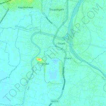
Name: Uttara P.S topographic map, elevation, terrain.
Location: Uttara P.S, Khordha, Odisha, India (20.15845 85.80288 20.23548 85.86987)
Average elevation: 15 m
Minimum elevation: 9 m
Maximum elevation: 52 m
Other topographic maps
Click on a map to view its topography, its elevation and its terrain.
Dhauli
India > Odisha > Uttara P.S > Dhauli
Dhauli, Uttara P.S, Khordha, Odisha, 752104, India
Average elevation: 15 m