
Harasbedda topographic map
Interactive map
Click on the map to display elevation.
About this map
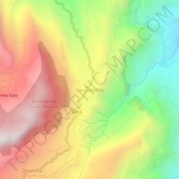
Name: Harasbedda topographic map, elevation, terrain.
Location: Harasbedda, Nuwara Eliya District, Central Province, Sri Lanka (7.03434 80.85854 7.07434 80.89854)
Average elevation: 1,309 m
Minimum elevation: 719 m
Maximum elevation: 1,878 m