
Khetapur topographic map
Interactive map
Click on the map to display elevation.
About this map
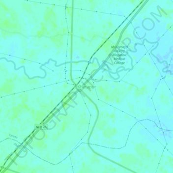
Name: Khetapur topographic map, elevation, terrain.
Location: Khetapur, Tanda, Ambedkar Nagar, Uttar Pradesh, 224227, India (26.48192 82.58546 26.52192 82.62546)
Average elevation: 89 m
Minimum elevation: 86 m
Maximum elevation: 92 m