
Kaithi topographic map
Interactive map
Click on the map to display elevation.
About this map
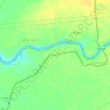
Name: Kaithi topographic map, elevation, terrain.
Location: Kaithi, Pawai Tahsil, Panna, Madhya Pradesh, India (24.32473 80.16012 24.36473 80.20012)
Average elevation: 319 m
Minimum elevation: 305 m
Maximum elevation: 330 m
Other topographic maps
Click on a map to view its topography, its elevation and its terrain.
Mahua Dol Earthen Dam Hanumanji Shiv Ganga
India > Madhya Pradesh > Pawai Tahsil > Mahuadol
Mahua Dol Earthen Dam Hanumanji Shiv Ganga, Mahuadol, Pawai Tahsil, Panna, Madhya Pradesh, India
Average elevation: 506 m