
Gudiyatham topographic map
Interactive map
Click on the map to display elevation.
About this map
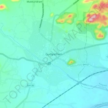
Name: Gudiyatham topographic map, elevation, terrain.
Location: Gudiyatham, Vellore District, Tamil Nadu, 635803, India (12.90857 78.83053 12.98857 78.91053)
Average elevation: 294 m
Minimum elevation: 256 m
Maximum elevation: 513 m