
Achenkovil topographic map
Interactive map
Click on the map to display elevation.
About this map
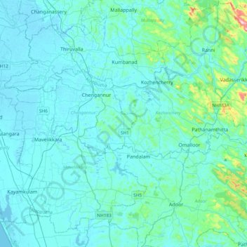
Name: Achenkovil topographic map, elevation, terrain.
Location: Achenkovil, Kozhenchery, Pathanamthitta, Kerala, 690509, India (9.22308 76.46419 9.32553 76.84067)
Average elevation: 34 m
Minimum elevation: -2 m
Maximum elevation: 392 m